GIS
GEOGRAPHIC INFORMATION SYSTEM

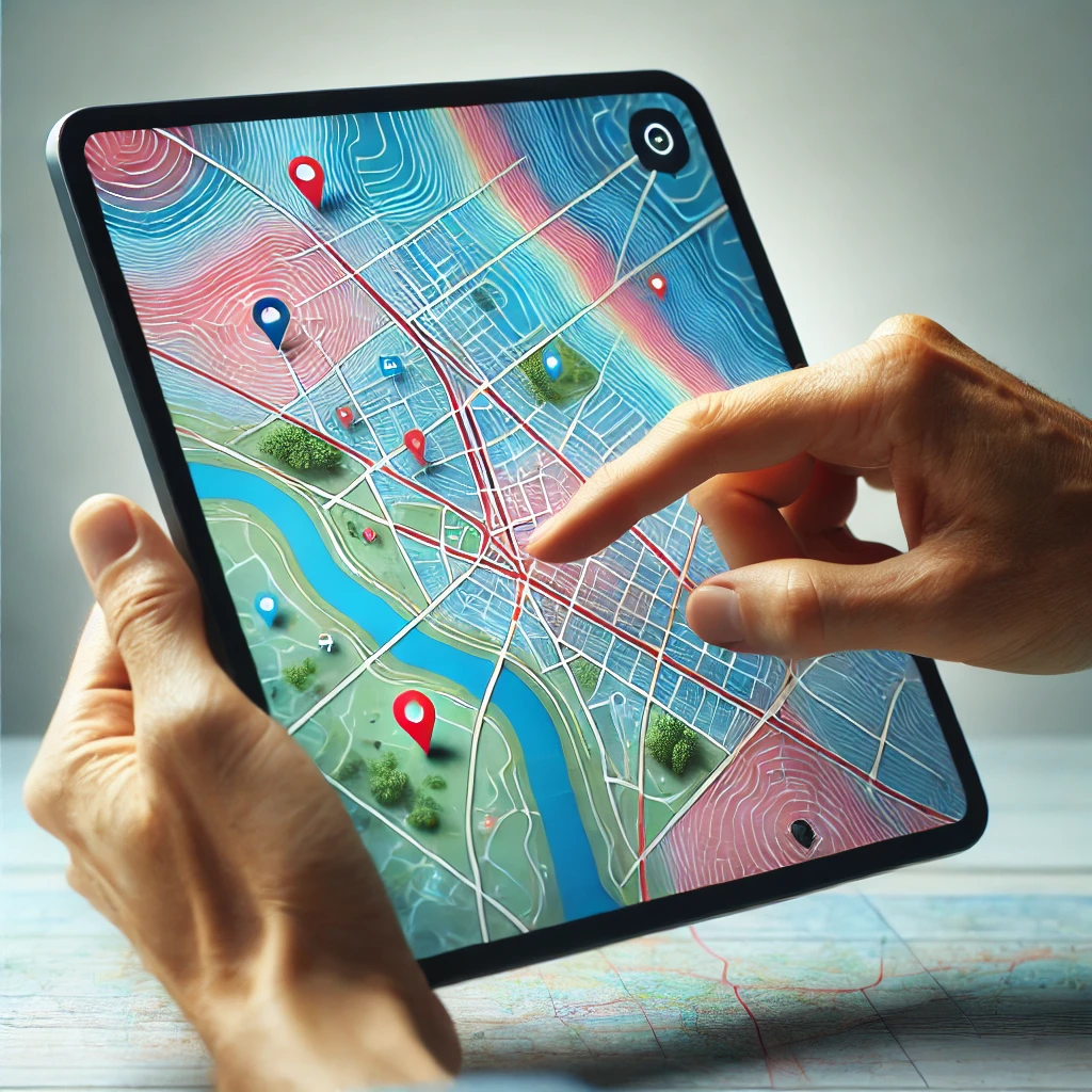
GEO-GALILEO offers comprehensive Geographic Information System (GIS) services designed to meet the diverse needs of both private organizations and public administrations. Our GIS solutions involve the computerized modeling of Earth’s geographic projections, utilizing advanced computational techniques to collect, store, analyze, and display spatial data in both graphical and numerical formats.
Our GIS services include:
Creation of Large-Scale Topographic Maps: We produce detailed maps that accurately represent the terrain, essential for various planning and development projects.
Georeferencing and Vectorization of Historical Maps: Our team updates and digitizes old maps, ensuring they align with current geographic coordinates for improved usability.
Development and Updating of Geospatial Databases: We build and maintain comprehensive databases that store spatial information, facilitating efficient data management and retrieval.
Digitization of Plans and Maps: We convert physical plans and maps into digital formats, enhancing accessibility and integration with other digital tools.
GIS Consultancy: Our experts provide tailored advice and support, assisting clients in implementing effective GIS strategies and solutions.
Our services are customized to address the specific requirements of each client. Our dedicated team is committed to delivering best practices and cutting-edge GIS tools, offering training and assistance to ensure successful project implementation, regardless of complexity.
Send Us a Message


